
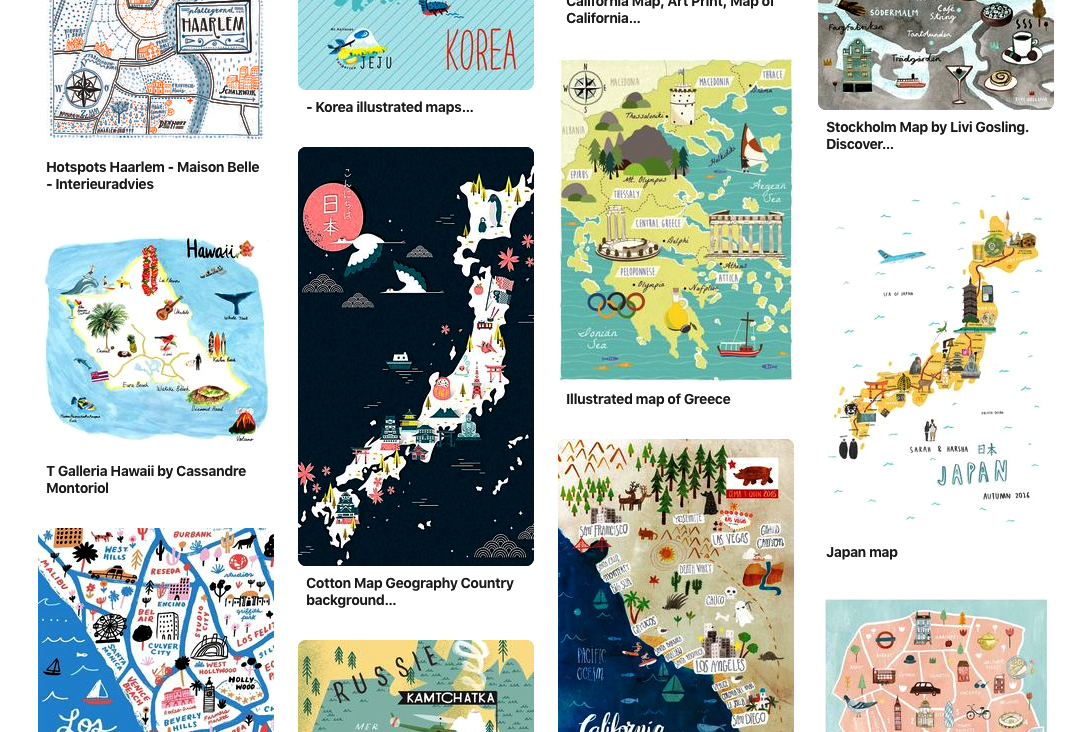
Maps are a visual representation of the “relative position of the parts of something,” often the location of a geographic area with its physical features, cities, streets, etc. Newspapers and magazines often use maps to illustrate the place mentioned in a news story or an editorial feature. A locator map is a simple version, just relevant towns, streets and buildings.
For our class, I’d like to focus on beautifully illustrated maps, which I have been seeing all over Pinterest, in magazines, books and online. These maps take time; they are pieces of art.
Here are a few artists who illustrate maps using their own unique styles, yet keep true to the vibes of each place: Josh Cochran, Rena Ortega, Nate Padavick.
Map design starts with research about the place, getting a feel for the region, its landmarks and people. How to best illustrate a place’s uniqueness?
For our class assignment, pick a place you know well. It can be as big as country or as small as your neighborhood corner. Try to demonstrate the mood of the place using your own playful, creative sense of style.
Making a vector map is a good way to learn the ins-and-outs of Illustrator. You’ll practice working with multiple layers, text and image. You might want to make some symbols of items you use repeatedly like tree outlines or road signs. And how to add in some of that coveted texture? We’ll go over some tips for all these things in class.
Here are some tutorials you might want to check out:
The Joy of Illustrated Maps in an era of Google Earth
Maps in 3D
How to make a vector map
See you all on Thursday!

